Across the country, cities have realized the urgent need to invest in renewable energy sources. Solar panel installations in San Francisco have grown from 551 in 2007 to more than 2,400 today, largely due to city, state and federal incentives for residents and businesses. New York City hopes to have the same success by launching the New York City Solar map to help people understand the benefits of going solar and taking advantage of available incentives.
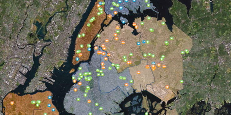
The map was created by the City University of New York (CUNY) using airplanes equipped with lasers that gathered images and data. The laser setup, which is called Lidar, was able to determine the size, shape and angles of every roof in all five boroughs of New York City. The map also calculates any shading that each roof could experience due to trees, buildings or others fixtures, which may impact where the solar panels should be placed. New York residents can type in their address to see their house’s solar potential, how big a system they should install and their expected monthly savings in energy and money. CUNY says that 66.4 percent of the buildings in the city have rooftops with the potential for solar panels. If all of these rooftops harnessed energy from the sun, about half of the city’s energy demand during peak hours would be met. This map — along with more incentives and public awareness — is a step closer to replacing the city’s dependence on fossil fuels with solar energy.
San Francisco has had a solar map since 2007. The San Francisco solar map, like the New York City one, shows existing solar panel systems throughout the city as well as solar water heating systems. When a resident types in their address, not only can they find out if the building is a good candidate for solar panels, but also for solar water heating. Solar water heating is an especially good choice for multi-family buildings — so predominant in San Francisco — because the owner of the building usually has only one water meter. Solar electric panels may be more complicated because each unit in a building pays a separate electric bill, raising the question: Who benefits from solar generated on the limited rooftop area of a multi-unit building? Changes to state regulation may soon allow for virtual net metering, which can credit multiple meters with the output from solar panels. The SF Department of the Environment is also looking at how community solar programs could allow residents in multi-family buildings, or simply homes without good solar access, to purchase a stake in solar systems off-site and have their portion of the system’s output credited to their account.
In addition to state and federal incentives, the City of San Francisco offers local rebates for going solar. The San Francisco solar map is helpful because it provides a visual of all possible incentives and how much the home or business owner will need to pay for the system. The highest level of incentives are reserved for people who use a solar energy company based in San Francisco that partakes in San Francisco’s workforce development program. The Office of Economic and Workforce Development provides a list of certified installers. Between incentives and these new maps depicting property-tailored information, U.S. cities can make an environmental difference by tapping into their solar energy assets, and look to San Francisco and New York as models.
Read the SPUR report Greening Apartment Buildings >>