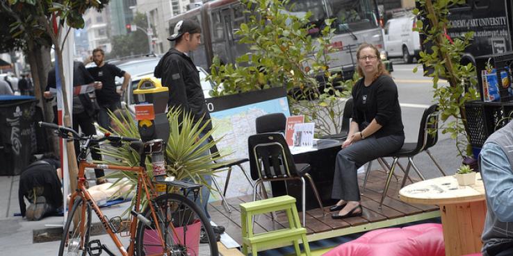
In the history of San Francisco city planning, 2011 may go down as the year of the parklet. The idea to make streets more livable by converting parking spaces into public places debuted in SF in 2010, thanks to the city’s Pavement to Parks project, but the concept really took off this year. SF has welcomed 10 new parklets in 2011, for a current total of 15, and will add as many as 12 more by the end of the year.
Why the explosion? Because parklets fill a real need for residents and businesses. An April 2011 Parklet Impact Study by the San Francisco Great Streets Project showed that 72 percent of respondents would visit the Tenderloin, North Beach and the Mission more often if there were more places to sit. The demand is there, and the city is responding by approving almost all of the new parklets proposed.
Streetsblog has been tracking new parklets as they crop up, and the Chronicle’s John King recently called them “the most intriguing urban design innovation in today's San Francisco.” But on the street, it can be hard to get a sense of the extent of the craze. Now you can track them on a parklets Google map, created by SF Great Streets, which shows all of the current parklets, as well as several of the approved sites.
To hear the inside scoop from those who are planning and designing local parklets, join SPUR for a walking tour of Valencia Street’s four parklets this Wednesday, July 13 at 12:30 p.m.
View San Francisco Great Streets’ parklet map >>